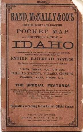
RAND, McNALLY & CO.'S INDEXED COUNTY AND TOWNSHIP POCKET MAP AND SHPPERS' GUIDE OF IDAHO: Accimpanied by a New and Original Compilation and Ready Reference Index, Showing in Detail the Entire Railroad System, the Express Company doing business over each Road, and Accurately Locating all Cities, Towns, Post Offices, Railroad Stations, Villages, Counties, Islands, Lakes, Rivers, etc....; Population according to the latest official census.
Chicago and New York: Rand McNally & Co., (1905). 1905 edition. Original Wrappers. (18)pp, including several ads. Full-color map opens to 21" x 13.5". Folds into tan card covers, printed in black; spine worn, tip chipped from cover, map is clean and bright. 6.5" x 4" Good. Item #038284
Price: $140.00
See all items in
Maps,
USA-State by State
See all items by Idaho